The Miners' Way
The Miners' Way and Historical Trail is a route which traverses the hills and valleys of Leitrim, Roscommon and Sligo...
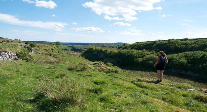
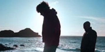
 The Miners' Way and Historical Trail is a route which traverses the hills and valleys of Leitrim, Roscommon and Sligo. It leaves the Leitrim Way at Dowra and passes north of Lough Allen. It then meanders through the coal mining territory of the Arigna Mountains, tracing the ancient routes followed by the coal miners on their way to work.
 Then it goes westward through the Lough Forest Park to Boyle as the Historical Trail. It then crosses the Curlieu Mountains and the Bricklieve Mountains, skirting the many megalithic burial mounds of this area. From Castlebaldwin it heads eastward to rejoin the Miners' Way near Ballyfarnon.
The total distance of the way is 80 miles, with the longest stage being from Castlebaldwin to Ballyfarnon,a distance of 15 miles. The highest point is the Curlew Mountains ( 818 ft ).
Start planning your vacation... Enquire Now
Driving Vacations in Ireland
Visit anywhere in Ireland at your own pace and experience the charm
See Fly Drive Vacations
Special Offer $409
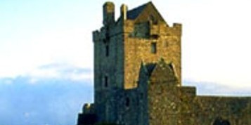
7 Day Vacation with stay in an Authentic Irish Castle.
Book Now
Honeymoons in Ireland
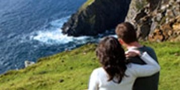
Choose Ireland for your Dream Romantic Honeymoon
See Irish Honeymoons
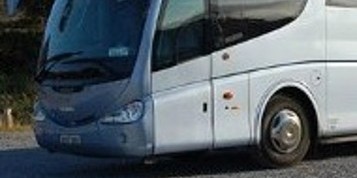
Escorted Tours of Ireland
All inclusive tours by luxury coach escorted by expert tour guide
See Escorted Tours
Group Tours
Enjoy Ireland with your Group
See Group Vacations
