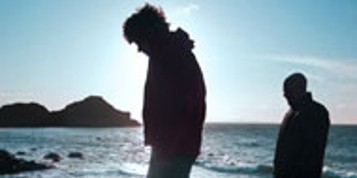
The South Leinster Way
This varied trail leads the walker between some very fine summits in County Carlow, and along forest tracks over the northern slopes of Mount Leinster...
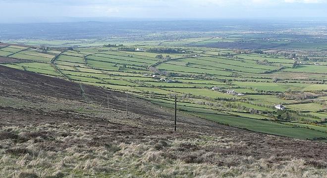

This varied trail leads the walker between some very fine summits in County Carlow, and along forest tracks over the northern slopes of Mount Leinster. The trail then drops down into the neat little town of Borris and, from there, follows a towpath along the River Barrow where life sometimes seems to stand still in old world solitude. Graiguenamanagh (the outfarm of the monks) soon comes into view, with its graceful 18th century bridge and medieval Abbey Church. Far above town, Brandon Hill beckons, and then the Nore Valley at Inistoge, an ancient place with a fine bridge and medieval church.
 The final section to the Carrick-on-Suir crossses wide, lonely uplands, with horizons stretching to Waterford and Tipperary.
The total distance of the walk is 62 miles stretching from Kildavin as far as Carrick-on-Suir. The longest stage being from Mullinavat to Carrick-on-Suir, a distance of 14 miles. The highest point on the walk is Mount Leinster T.V. Gate (1480ft).
Talk to one of our Specialists about how to accommodate this varied walking trail into your vacation.
Start planning your vacation... Enquire Now
Driving Vacations in Ireland
Visit anywhere in Ireland at your own pace and experience the charm
See Fly Drive Vacations
Special Offer $409
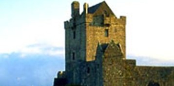
7 Day Vacation with stay in an Authentic Irish Castle.
Book Now
Honeymoons in Ireland
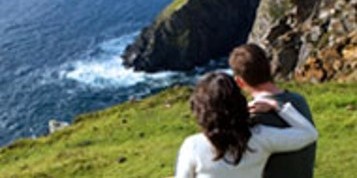
Choose Ireland for your Dream Romantic Honeymoon
See Irish Honeymoons
Escorted Tours of Ireland
All inclusive tours by luxury coach escorted by expert tour guide
See Escorted Tours
Group Tours
Enjoy Ireland with your Group
See Group Vacations
